My mother suggested the Pieterpad. We are both keen hikers, but we had never walked anything of length together, and we hike differently. I go too fast and too far. She goes further than she should and then pays for it the next morning. So before we started we agreed on exactly one thing: we would walk until we felt like stopping, then find somewhere to eat and somewhere to sleep, and we would do that four times. That was the entire plan.
Everybody who writes about this trail tells you to do the opposite.
The walk, in numbers
| Trail | 309 miles498 km from Pieterburen to the Sint-Pietersberg, the most walked long-distance path in the Netherlands |
| Section walked | Sint-Pietersberg (Maastricht) to just past Roermond |
| Direction | South to north, so stages 26, 25, 24 and part of 23 |
| Dates | 18 to 21 May 2026 |
| Distance recorded | 47.7 miles76.78 km over four days, and day one is under-recorded |
| Longest day | 16.6 miles26.78 km on day 3, on a stage that is 15 miles24 km on paper |
| Terrain | Genuinely hilly for two days, then flat |
| Weather | Dry throughout. No rain in four days. |
| Nights booked in advance | None. One of the three took real effort to find. |
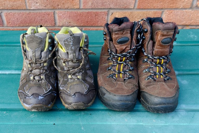
| Footwear | Altra Timp 6 (me), Lowa Innox Pro GTX Mid (my mother) |
| Blisters between us | None |
Distances are what I recorded on Strava, day by day, and my profile is linked from our about page if you want to check them. Day one is the exception: the recording dropped part way, so its figure is short of what we actually walked. Times are the durations as Strava recorded them.
Because I tracked the walk, this is one of the few Pieterpad accounts you will find with measured numbers attached rather than the guidebook’s. Here is what the four days actually came to.
| Route | Published stage | I recorded | Time | Note |
|---|---|---|---|---|
| Day 1 Sint-Pietersberg to Strabeek | 11 miles17 km | 7.3 miles11.78 km | 4h 14m | recording incomplete |
| Day 2 Strabeek to Sittard | 14 miles22 km | 13.1 miles21.12 km | 7h 20m | |
| Day 3 Sittard to Montfort | 15 miles24 km | 16.6 miles26.78 km | 7h 40m | missed a turn |
| Day 4 Montfort to past Roermond | 14 miles22 km | 10.6 miles17.1 km | 3h 38m | part-stage by design |
Four days, 47.7 miles76.78 km recorded in total. Day one is short: the recording dropped, so the real figure is closer to the published 11 miles17 km. Everything else is measured. Free to cite with attribution to OutdoorAdept.
Why we did not book anything
The Pieterpad runs 309 miles498 km from the Groningen coast down to the hill just south of Maastricht, in 26 published stages, and there is a whole small industry built on the assumption that you will book ahead: guidebooks with accommodation lists, luggage transfer, packaged Pieterpad weekends. The reasoning is sound. Beds in small Limburg villages are limited, the trail is popular, and if you arrive at seven in the evening in a village with one guesthouse and it is full, that is your problem to solve on tired legs.
We left the nights open anyway, for one reason: booking a bed 14 miles22 km up the trail means somebody walks to a number all day. Whoever feels worse that morning gets dragged, and whoever feels better gets held back, and neither of them is having the walk they came for. We wanted to find out how far we would actually go if nothing was pulling us.
Day 1: Sint-Pietersberg to Strabeek
We reached the trailhead at twelve, which is late to start a walk and exactly right to start this one, because the first thing that happens on the Pieterpad from this end is lunch. My mother, my stepmother and I ate at the start.
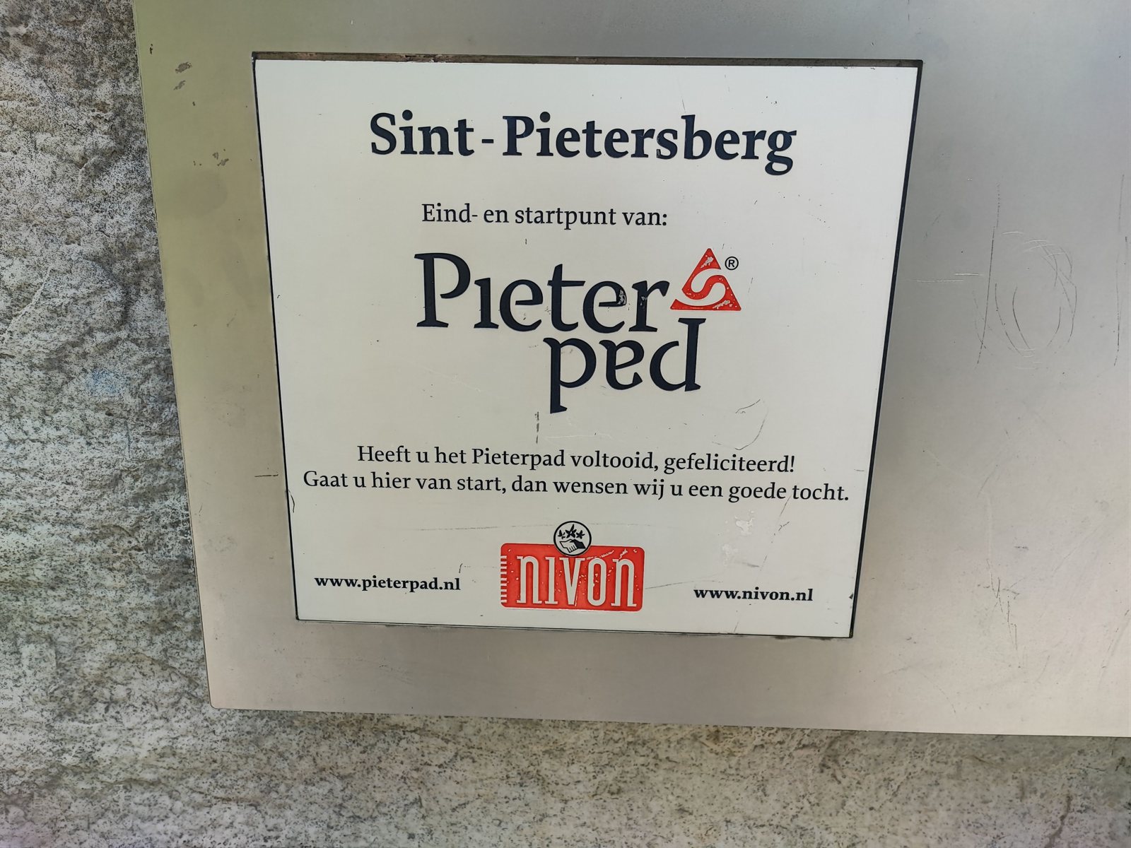
The sign at the Sint-Pietersberg is the best thing about beginning here. It says eind- en startpunt, end and start point. It congratulates you if you have just finished the Pieterpad and wishes you a good journey if you are about to begin one, and almost everyone standing in front of it is the first kind of person. Walking north from Maastricht makes you the second kind, and it means your stage numbers count down instead of up. We started on stage 26.
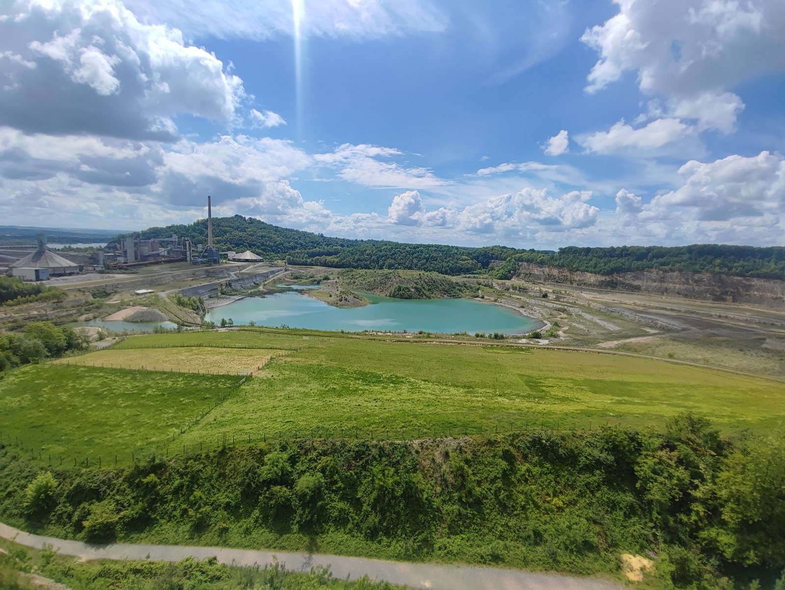
The first section loops out over the hill and comes back past the start, so my stepmother walked it with us. We took a photo at the viewpoint over the old marl quarry, walked back down to the car park together, and she drove off. That was the moment the trip actually started: two people, two packs, and no address for the evening.
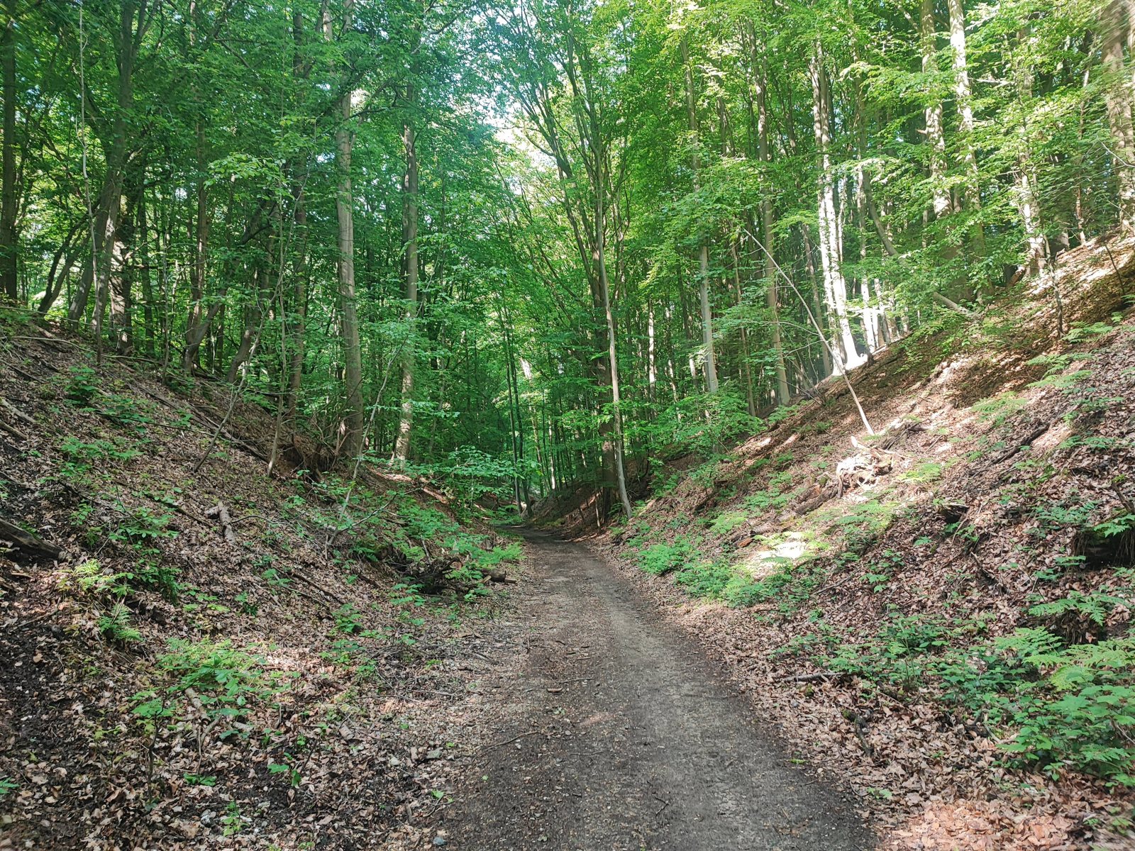
Then the walking, and the first surprise. This is properly hilly. I knew South Limburg was the hilly bit of a country that has no hills, but knowing that and climbing out of the Maas valley with a pack on are different experiences, and it got steadily better the further we got from Maastricht. The trail spends a lot of the afternoon in holloways: lanes worn so far below the level of the fields that you walk between two earth walls with beech roots hanging out of them at eye height.
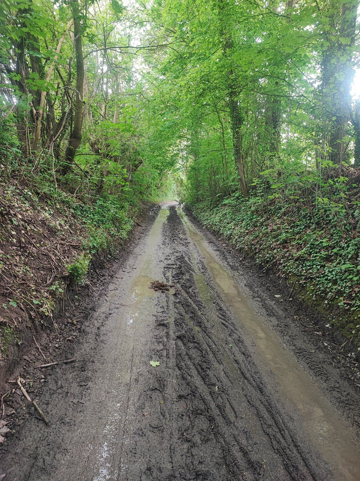
We did not see rain once in four days, which did not stop the ground from being wet. Some of those lanes were a genuine surface rather than a stroll, churned and standing with water from whatever had fallen before we arrived.
The other thing I noticed, and I have walked in this country my whole life without noticing it, is how many cherry trees grow here. They are everywhere on this stretch. We picked a few up off the ground and ate them, well before the season, which tells you something about the state of the ones still on the branch and rather more about how quickly hiking lowers your standards.
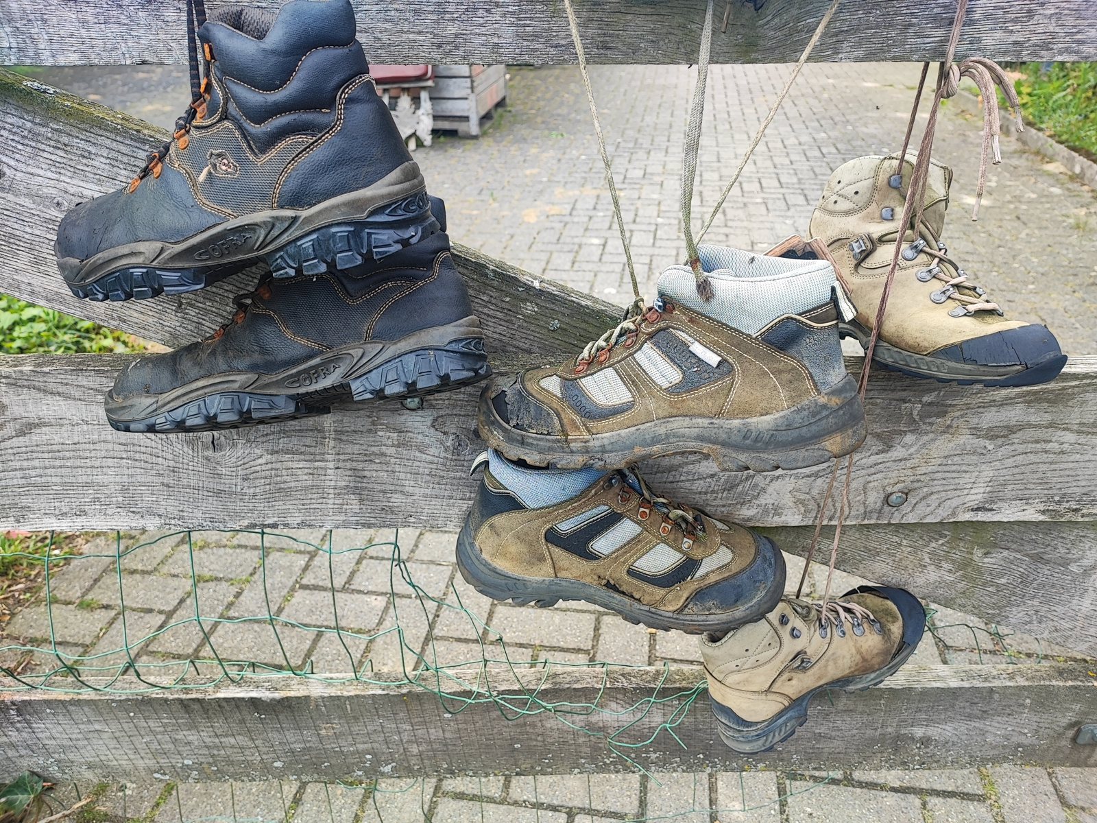
Somewhere in the middle of the afternoon we passed a frame beside the path hung with old hiking boots, dozens of them, laces knotted over the bar, every single pair finished. I have never found out what it is. Whatever it commemorates, it is a good thing to walk past on the first afternoon of a long walk, and a slightly ominous one.
We came into Strabeek in the evening, and found the best room of the trip within an hour of stopping to look for one. It was a hotel painted pink, on a street where somebody had put dolls out on every bench. I have no explanation for either decision and I am not sure I want one. If you had asked me that morning to predict how the first unbooked night would go, I would not have guessed at anything nearly this good.
Day one is the one day I cannot give you a real number for. The recording dropped somewhere along the way and only caught 7.3 miles11.78 km of a stage that is 11 miles17 km on paper. We started at noon and finished at half past six, so the published figure is the honest one to use.
Trail tips, news and giveaways
One email a month: hiking tips, gear news, giveaways, fresh footwear verdicts and more. No spam, unsubscribe anytime.
Day 2: Strabeek to Sittard, and the day the country changes
Day two is stage 25. I recorded 13.1 miles21.12 km of it in 7 hours 20 minutes, and it is the best walking of the four. It is also the day the Pieterpad quietly stops being what you came for.
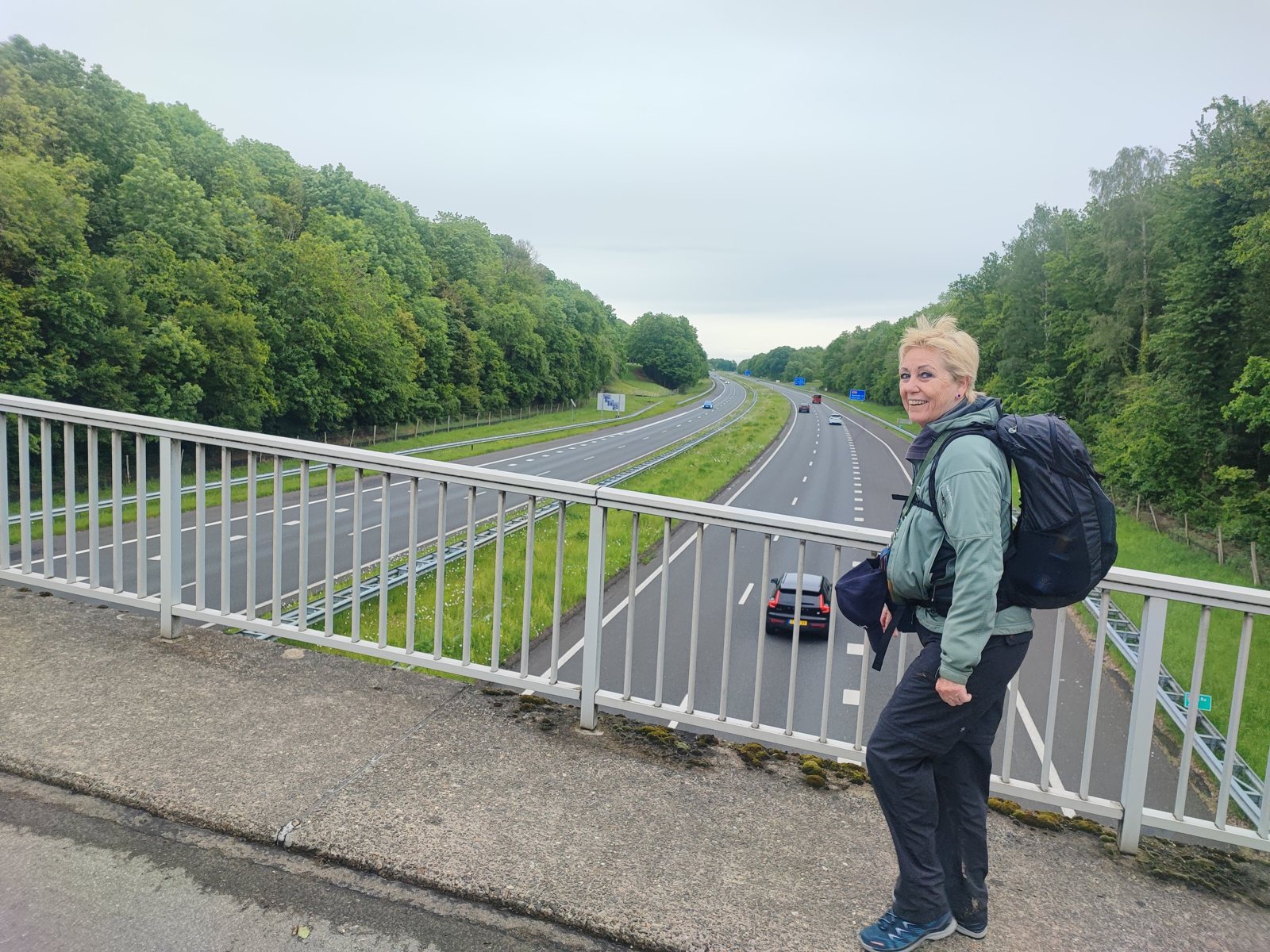
The morning is still Limburg: woods, hedged lanes, climbs that make you take your jacket off. There is a footbridge over the motorway where you stand above four lanes of traffic with a pack on, which in a country this size is a fair summary of long-distance walking here. You are never far from anything. You are just moving through it at the wrong speed.
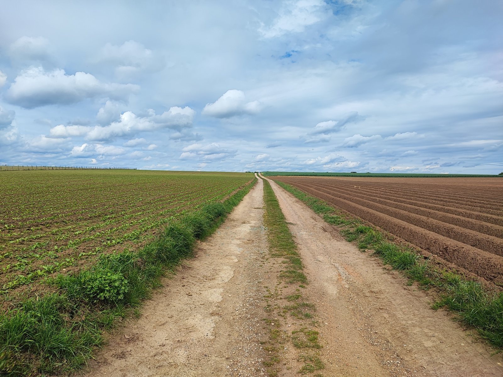
And then, somewhere in the second half of the day, the hills simply stop. Not gradually. The ground opens out, the horizon arrives, and you are looking down two tractor ruts running dead straight across a ploughed field with nothing to interrupt them. That is the Netherlands I grew up in: flat and full of grass, and it turned up a good deal sooner than I expected it to.
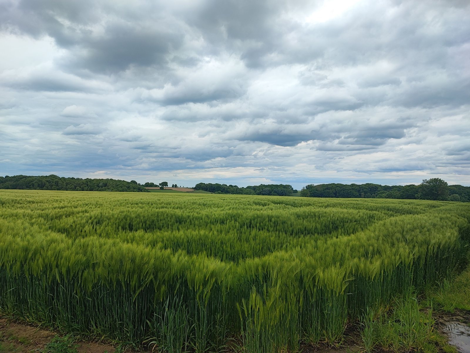
I want to be careful about how I say the next part, because “and then it got boring” is the easy line and it is not true. It got different, and it asked something different. Hills give you a rhythm: you climb, you get a view, you descend, and the day breaks itself into pieces for you. Flat country gives you none of that. You get one surface, one pace, and a horizon that does not appear to move, and it is your legs and your company that have to supply the structure the landscape used to. There is real beauty out there. Green barley moving under a heavy sky is not a consolation prize. But it is work of a different kind, and I understood on day two why people who only ever walk the southern stages come away with a completely wrong idea of this trail.
The numbers make the point better than I can. Day two, the hilly one, took 7 hours 20 minutes to cover 13.1 miles21.12 km. Day four, out on the flat, covered 10.6 miles17.1 km in 3 hours 38 minutes. Four kilometres less ground, and less than half the time on the clock. If you are planning stages down here, plan the hill days short and the flat days long, because the map will not tell you that and the guidebook gives them roughly the same distance.
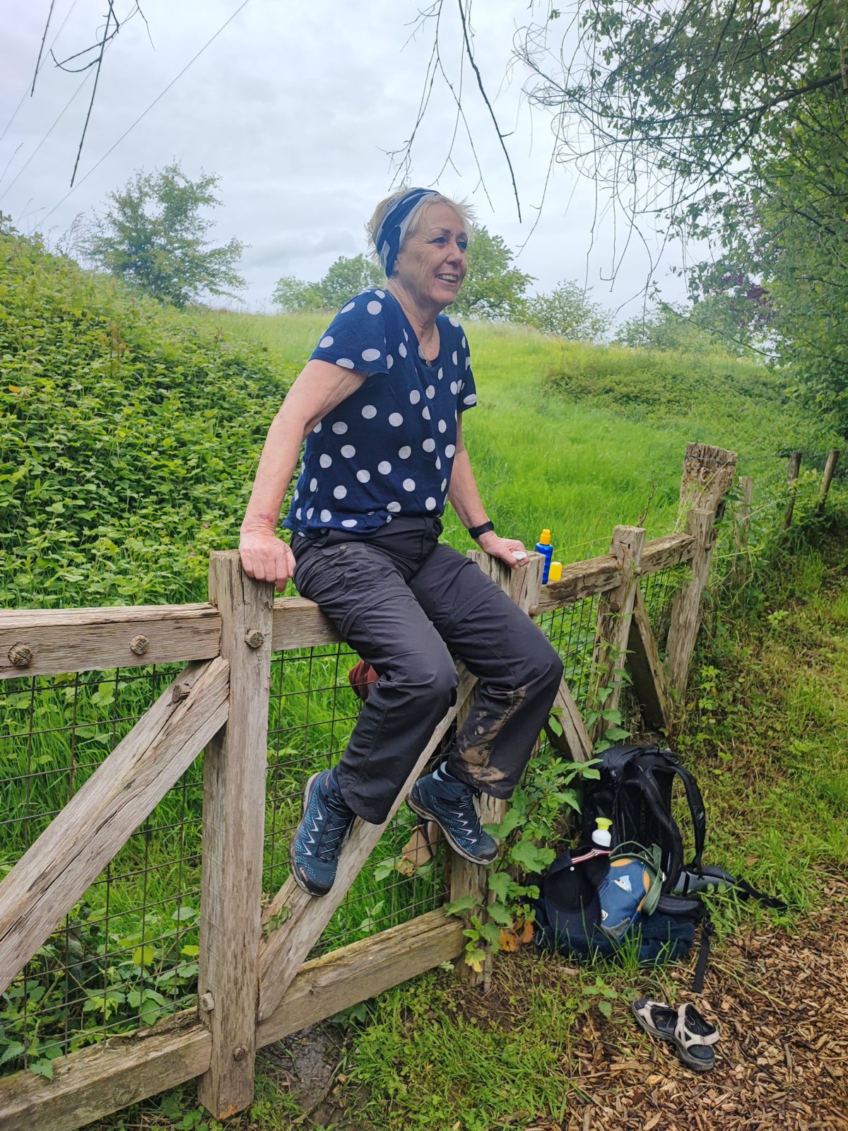
It was also the day my mother’s foot started to talk to her. Her big toe swells when she walks distance, which is not something you can out-train or ignore, and by the afternoon it was uncomfortable enough to change how she was moving. She sorted it herself with her laces, backing off the tension over the forefoot and keeping it over the ankle, and got most of the relief she needed out of a two-minute adjustment at the side of the path. She also carried a pair of sandals the whole way and swapped into them when she wanted her feet in something else for a while. I did not bring a second pair of anything, and by day three I could see the sense in it.
Day 3: Sittard to Montfort, the long one, made longer
Stage 24 is 15 miles24 km on paper. I recorded 16.6 miles26.78 km, in 7 hours 40 minutes. It was the longest day of the four by both measures.
About 0.6 miles1 km of that overshoot was a turn we missed. The rest is the gap nobody puts in a guidebook: the difference between a stage as drawn and a stage plus the walk to wherever you actually end up sleeping. Add those two together on the day you are already walking furthest, and the 1.7 miles2.78 km you are over the published figure all lands in the last hour.
On paper a kilometre is nothing. At the end of the day it is not nothing. The extra distance itself was fine. What it took was the feeling of being nearly finished, which on a long day is most of what keeps you moving.
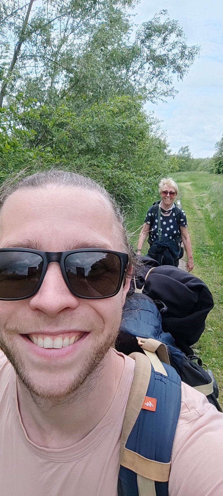
The Pieterpad’s waymarking is good, and good waymarking makes you lazy. Four hours of red and white stripes appearing exactly where you expect them trains you to stop looking, and then you have a conversation with your mother about something else entirely and walk past the turn. It is not a navigation failure and no amount of map skill would have caught it. It is an attention failure. What catches it is the habit of asking at every junction whether you have actually seen a marker recently, out loud, so the other person has to answer.
Day three was also the only night we had to work for a bed. Montfort did not hand us one, and we spent real effort on it before we got somewhere good. That is the honest cost of the whole approach and it landed on exactly the day that could least afford it: longest stage, navigation error, tired walker, and then an hour of phone calls instead of sitting down. We still got somewhere good. But if you want to know where improvising bites, it bites there.
Day 4: Montfort to just past Roermond
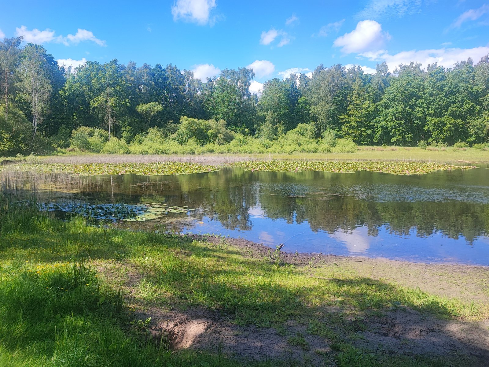
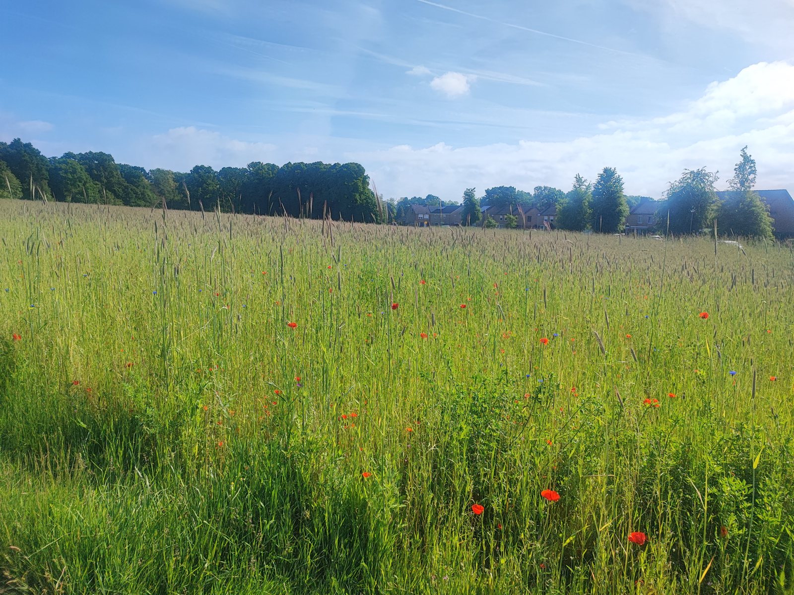
The last day was a half day by design, because we had a lift home coming: 10.6 miles17.1 km in 3 hours 38 minutes, comfortably our fastest going. Stage 23 runs from Montfort up towards Swalmen along the edge of Roermond, and it is gentle, green, and completely different in character from day one: field tracks, avenues of beech, wheat with poppies through it.
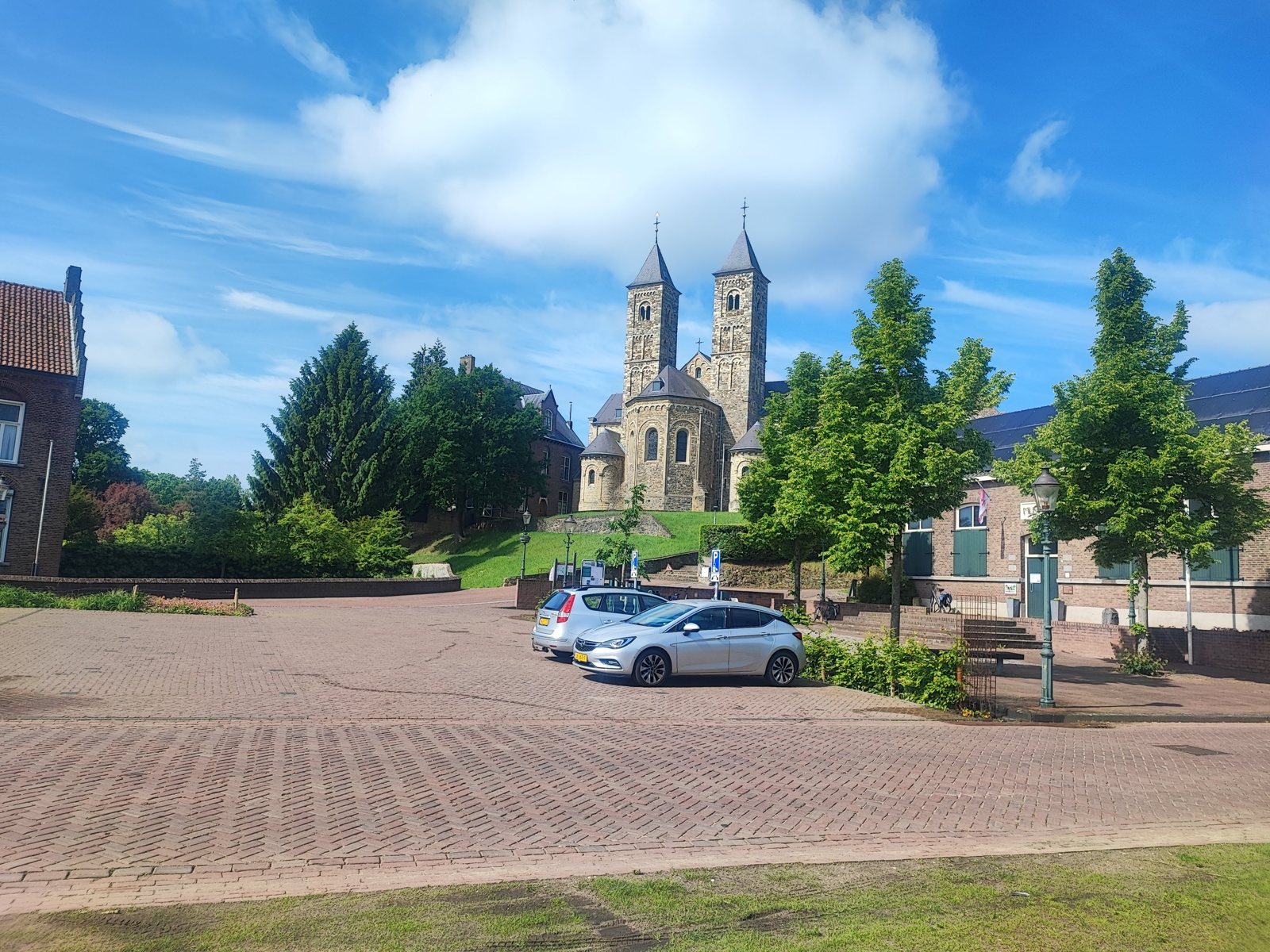
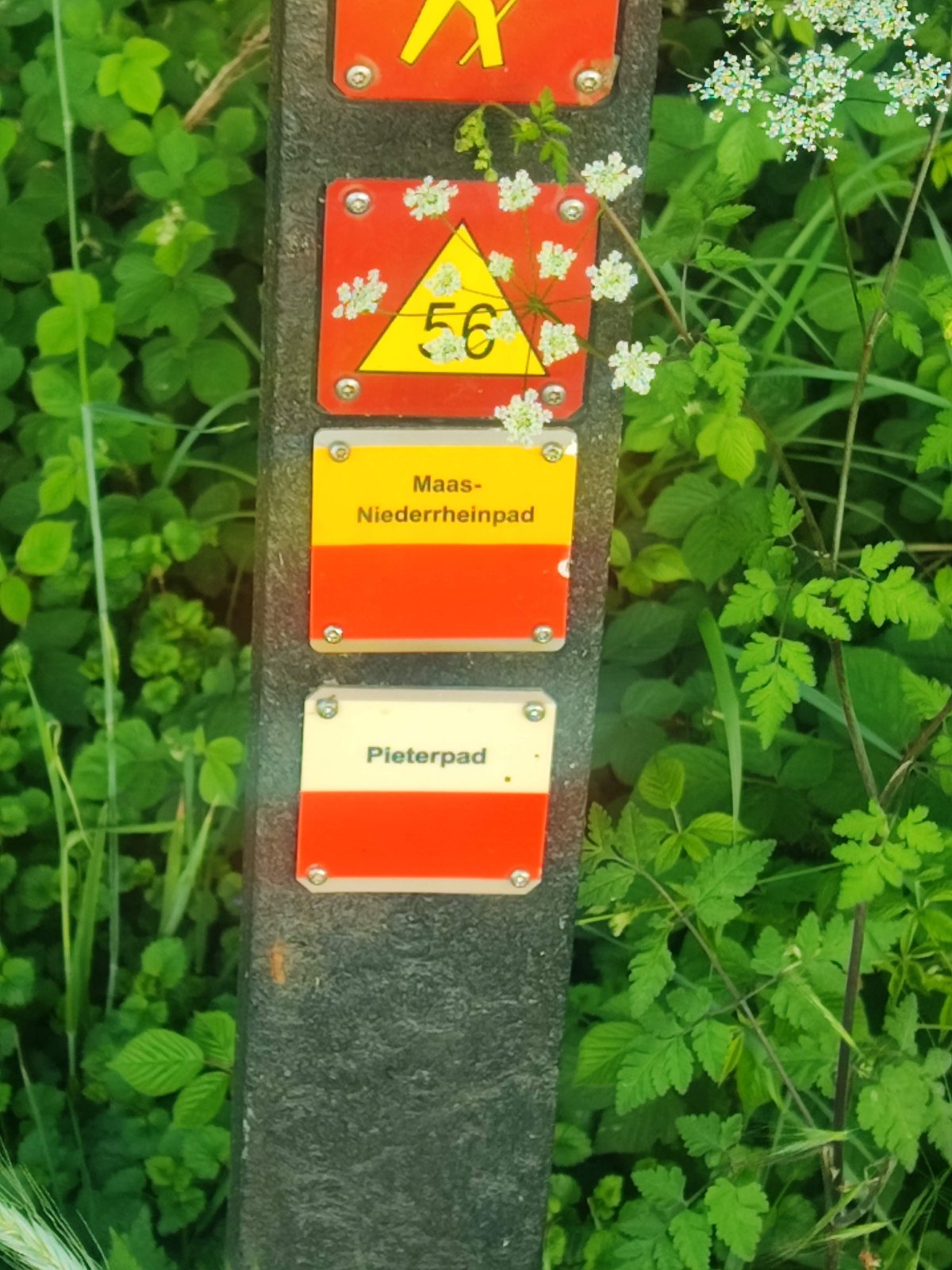
Mid-morning the twin towers of the basilica at Sint Odilienberg come up out of the trees, which is the only real landmark of the day and a good one. Shortly before it there is a waymark post where the Pieterpad plate shares its pole with the Maas-Niederrheinpad, a reminder that this trail is one thread in a network that carries straight on into Germany.
We stopped just past Roermond in the early afternoon, my stepmother collected us, and we drove home. There is no photograph of the finish, which feels about right for a walk that does not have one. That point is where we start next time.
What improvising actually cost us
Three nights, one of them difficult. That is the whole answer, and it is a better one than I expected.
The first night in Strabeek was the best room of the trip and we found it inside an hour. The second in Sittard was straightforward. The third in Montfort took real work at the end of the hardest day, and we still landed somewhere good. Nobody slept badly, nobody paid a penalty for arriving without a reservation, and at no point did we stand in a village square with nowhere to go.
The part that genuinely surprised me is how little the freedom moved us. Strabeek, Sittard and Montfort are the standard stage ends, and we hit all three without planning to. The villages are where they are, the beds are where the villages are, and the stages exist because somebody sensible worked out how far it is between them. We did not walk a wildly different trip from the booked version of the same trip.
What changed was not the distance. It was the pressure. We never once walked against a clock, and on day three, long and hot and a turn short of where we thought we were, that was worth considerably more than the hour we spent on the phone that evening. If you are two people with different natural paces, and one of you is walking on a foot that has opinions, I would pay that price again.
One thing I would not skip: tell somebody where you are going and roughly when you expect to be there. Improvising your bed is fine. Improvising it while nobody knows which direction you went is a different thing entirely.
The footwear: one trail runner, one waterproof mid
Between us we ran a fairly clean version of an argument this site has made in writing more than once: boots against trail runners, on the same trail, on the same days, in the same weather.
I walked all four days in the Altra Timp 6. My mother walked them in the Lowa Innox Pro GTX Mid, a light waterproof boot with ankle coverage.
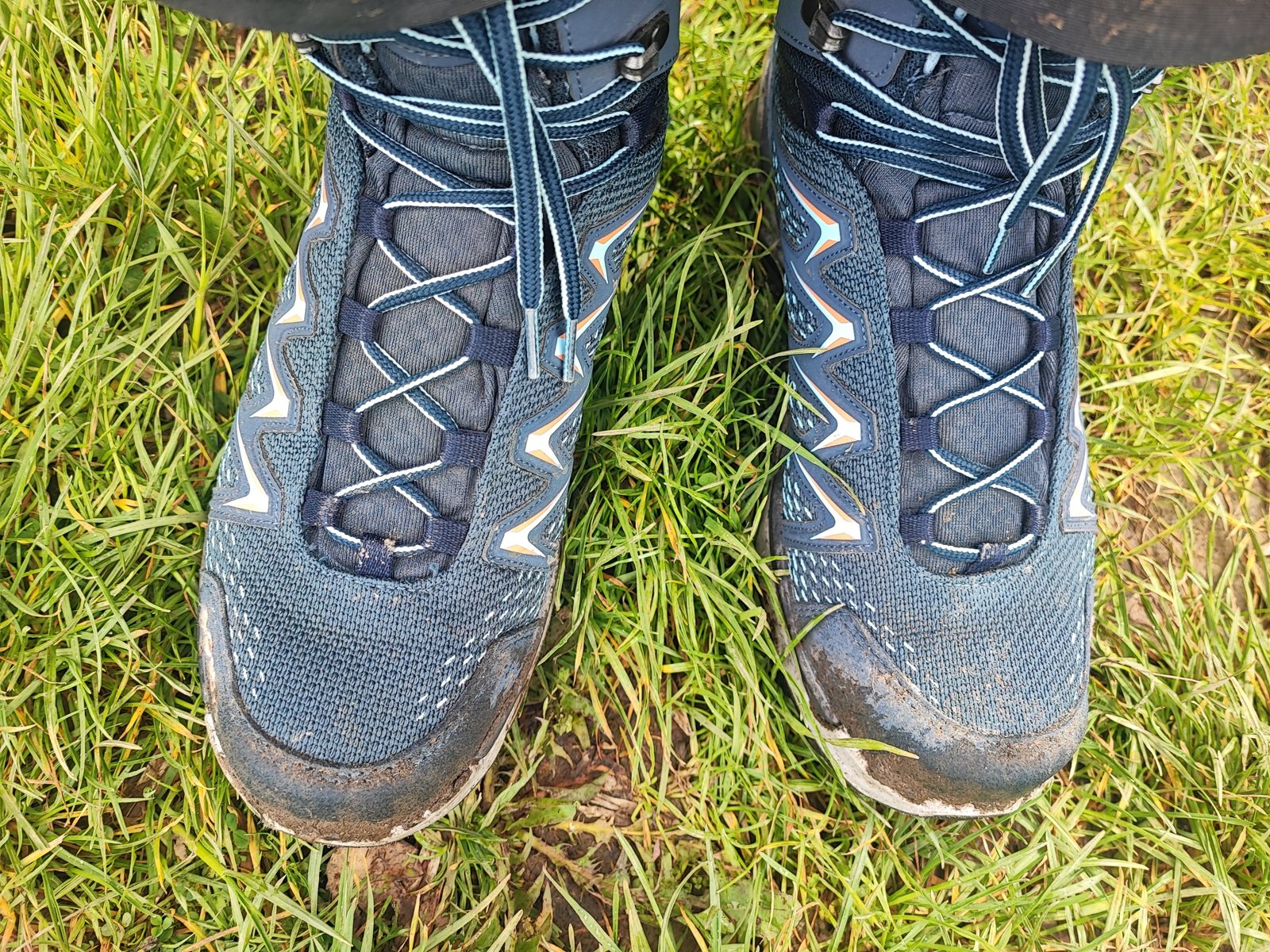
Neither of us has a complaint, and I want to be precise about what that does and does not prove. Four days, two pairs of shoes, no blisters between us, no hot spots worth stopping for, nothing that made either of us think about our feet on the days our feet were behaving. On the terrain that changed most (the wet sunken lanes and root-broken climbs of days one and two, then the long flat tracks of days three and four) both pairs simply did the job.
What we did not get is the test everyone actually wants. It never rained. Her boots are the waterproof ones and their waterproofing was never asked a question, so anyone reading this for a verdict on the Innox Pro’s Gore-Tex should keep reading elsewhere. Mud is not a waterproofing test. Rain is.
The genuinely useful thing came from her feet, not her boots. Her big toe swells over distance, and the fix that worked was not a different shoe: it was re-lacing, dropping the tension across the forefoot while keeping the ankle held, done at the side of the trail in two minutes. If your feet change shape over a long day, the adjustment you can make while standing in a field matters more than the one you made in the shop. She also carried sandals purely for variety and used them, which I had privately filed under “extra weight” before this trip and no longer do. Your socks and your laces are the two things you can still change once you have left the house.
Two things I would do differently
- Watch the recording, not just the trail. Tracking the walk is the reason this report has real numbers in it rather than a guidebook’s. It is also why I know exactly what I lost: day one dropped part way and came back a third short, so it is the one day I have to quote somebody else’s figure for. The tracks are on my Strava, linked from our about page, gap and all. Next time I check it is actually running at every break instead of trusting it to have behaved all day.
- Ask about the marker at every junction, out loud. See day three. Good waymarking is a trap set specifically for the people it works for, and the countermeasure costs one sentence.
I notice that neither of those is “we should have booked”. After four days I do not think we should have.
If you want to walk it this way
Some honest scoping, because “do not book” is advice that can go badly wrong for the wrong person.
It works if: you are walking the southern Limburg stages, where villages come often enough that a stopping point is always in reach; you are walking midweek and outside the school holidays; you are two people rather than six; you have a phone, a signal and an hour of patience in reserve; and you can absorb the cost of an expensive room on the night the cheap one is gone.
Do not do it if: you are walking a weekend in high season, you are on a fixed budget per night, you need particular accommodation for a medical reason, or you are on the emptier middle stretches of the trail where the gaps between villages get longer. Our sample is three nights in one region in May. It is not a licence.
If you want the wider picture of walking long routes on this continent, we have a broader guide to thru-hiking in Europe. The Pieterpad is one of the friendliest entries on it: waymarked to a standard that flatters you, never far from a station, and with a hill section at the southern end that will genuinely surprise anyone who thinks the Netherlands is one flat thing.
Frequently asked
How hilly is the Pieterpad really?
For the first two days out of Maastricht, hilly enough that it changes how you walk: real climbs out of the Maas valley, sunken lanes, and gradient you feel with a pack. After that it flattens out and stays that way. If you have only walked the southern stages, you have not walked the trail most people mean.
Do you need to book accommodation on the Pieterpad?
The standard advice is yes, and for weekends, high season or groups I would follow it. We walked four days midweek in May through southern Limburg without booking anything. Two of the three nights were easy and the first was the best room of the trip. The third, in Montfort, took a solid hour of effort at the end of our longest day. That is the trade, stated honestly: you buy freedom during the day and you occasionally pay for it in the evening.
Can you walk the Pieterpad from Maastricht instead of Pieterburen?
Yes. The Sint-Pietersberg is signed as both an end and a start point. It means your stage numbers count down, most of the people you meet are walking the other way, and every guidebook description you read is written back to front. None of that is a problem in practice.
Which shoes should you wear on it?
On these four days it did not matter much, and I think that is the real answer for the southern Pieterpad in dry weather. A trail runner and a light waterproof mid both went four days without a blister between them. Pick for the wet-weather version of the trail rather than this one, because the sunken lanes on days one and two would be a different proposition after rain, and pick something you can re-lace on the move.
Walked 18 to 21 May 2026, from the Sint-Pietersberg to just past Roermond. Distances and times are recorded from my own Strava tracks, except day one, whose recording dropped part way and falls back to the published stage distance. Free to cite with attribution. This report will be updated when we walk the next leg.