Most people who come to Montserrat reach the monastery the usual tourist way: by car, by bus, by train and cable car, or on the rack railway. What would you say if I told you they are missing the true essence of this mountain?
Pilgrims once came here from all over Europe. On 16 September 2026 I arrived at the Benedictine monastery of Santa Maria de Montserrat, in the province of Barcelona, as one more pilgrim: on foot from Collbató, up the Drecera de Fra Garí, past the hermitages of Sant Joan and through the Pas dels Francesos.
Guest post. Sergio López Prieto lives in Collbató, at the foot of Montserrat, and walked this route on 16 September 2026. We checked his times against his GPS track and the timestamps on his photos. No brand supplied gear for this piece and it contains no affiliate links.
The route at a glance
| Walked | 16 September 2026 |
| Start and finish | El Pujolet, Collbató (41.572126, 1.825026) |
| Distance on foot | About 5.9 miles,9.5 km, plus the Sant Joan funicular (0.3 miles0.5 km) |
| Ascent / descent on foot | About +2,460 ft750 m / −3,180 ft970 m |
| Highest point | 3,353 ft1,022 m |
| My time | 07:24 to 11:05: 2 h 36 min walking, 47 min at the monastery |
| Difficulty | Short grade II scrambles on the Drecera de Fra Garí |
| Water | Pla de les Taràntules and the monastery |
| Best months | Autumn to spring |
Distance and elevation from Sergio’s GPS track of the day, with the funicular ride taken out. Times are his own, checked against the track and his photo timestamps.
How hard is it?
Montserrat is not a technically difficult mountain, but the first stretch of this route, the Drecera de Fra Garí, needs a little more attention. There are short grade II scrambles where you need shoes with good grip and sound technique with hands and feet. It is entirely manageable with the usual precautions for routes of this kind, but it is not a classic walking path.
How to get to Collbató from Barcelona
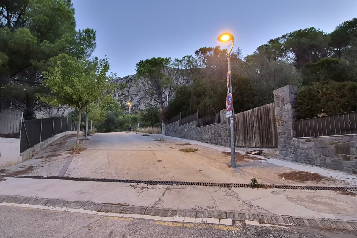
Most visitors come from Barcelona, and if that is you, you have several ways to reach the start. Your own car is without doubt the best option and much more comfortable. The route starts at El Pujolet (41.572126, 1.825026), and you can park in the area without trouble.
If you come by bus, take the MonBus line to Igualada via El Bruc, get off at any of the Collbató stops and head for the start. One tip: in the MonBus timetable, pick a departure marked (4). Not every bus does it, but those go up into the village itself, which leaves you much closer to the start of the route. One more note: on Sundays vehicle access is restricted, on that day only, so park here instead: 41.569161, 1.826120.
The journey from Barcelona is short, about 35 minutes and some 24 miles.38 km. On a weekday my advice is to take the bus that leaves Barcelona at 8:00, one of the (4) departures, which gets you to Collbató at 8:35.
Trail tips, news and giveaways
One email a month: hiking tips, gear news, giveaways, fresh footwear verdicts and more. No spam, unsubscribe anytime.
What is Collbató?
Collbató is a wonderful small village at the foot of the southern side of Montserrat. Its history is closely linked to the mountain and, for centuries, the pilgrims who climbed up towards the monastery did so from this side.
Its position at the foot of Montserrat, on a strategic col, shaped the town from the beginning. Two important routes passed through here: the royal road from Barcelona and the old road that connected with the Vallès, which met at what is today the Plaça de l’Església.
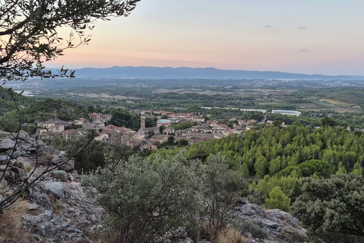
Because these routes came together at Collbató, a community grew up that lived mainly from farming and transport. For centuries peasants and muleteers made up a good part of the population, and many of them carried travellers and goods along the paths up to the monastery of Montserrat.
The legendary Drecera de Fra Garí
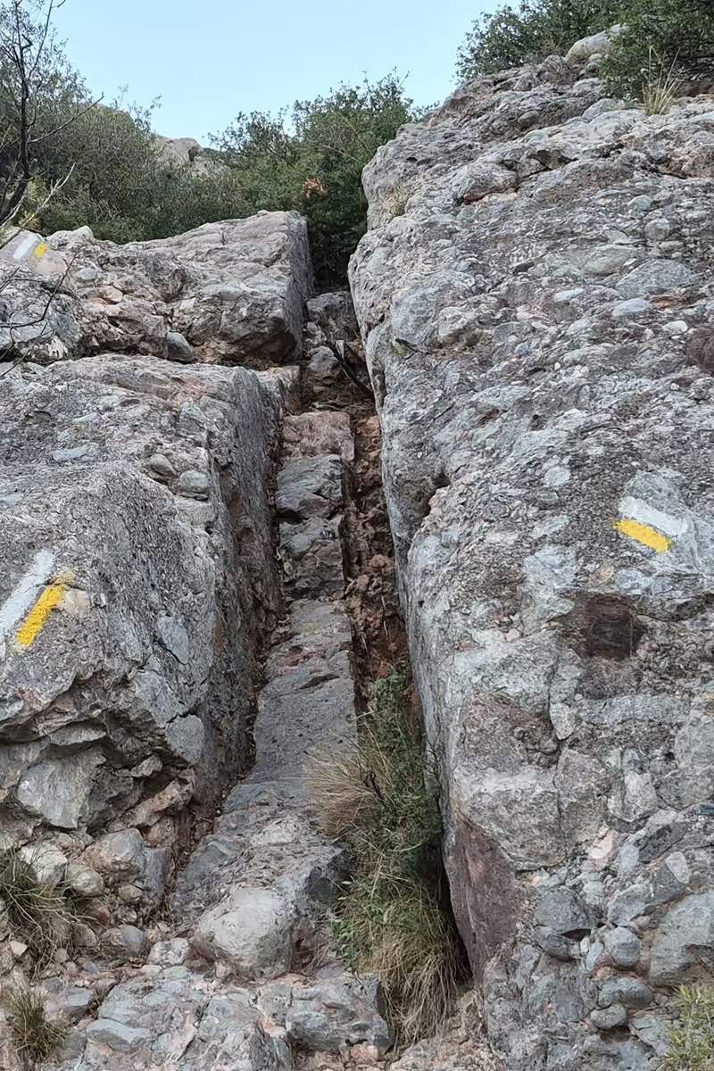
I left El Pujolet at 07:24, at 1,332 ft406 m above sea level, and this climb turned out to be one of the most enjoyable parts of the route: short grade II scrambles, like a staircase, that led me up among the conglomerate needles of the lower part of Montserrat.
So the route began with a certain physical demand, but the reward was high: good views and, halfway up this adventurous scramble, one of the finest and most hidden viewpoints on the southern side of Montserrat.
Always follow the white and yellow PR waymarks until you join the old path to the monastery. As I say, it is a demanding climb, but plunging straight into this wonderful mountain like this is priceless. It is like a stairway to heaven.
Soon I joined the old path and followed an easy zigzag for about ten minutes to the turn-off towards the hermitage of Sant Joan.
Sant Joan and Sant Onofre: traces of the hermits
From the turn-off the path climbs again. It is relatively easy but full of loose stone, where it is easy to lose traction, so it asks for your attention.
As the morning went on, the first rays of sun lit up the summits of the Serrat del Penitent on my right and the Serra de Sant Joan on my left, with the remarkable hermitages of Sant Joan, at 3,343 ft,1,019 m, and Sant Onofre in the distance.
About 25 minutes later I reached the Camí de Sant Joan and turned a few steps off to the left, for five minutes, to take in the hermitages of Sant Onofre and Sant Joan, traces of Montserrat’s eremitic past.
The hermitages are one of the things I like most about Montserrat. For centuries, hermits sought out remote places here to live a life of prayer and isolation.
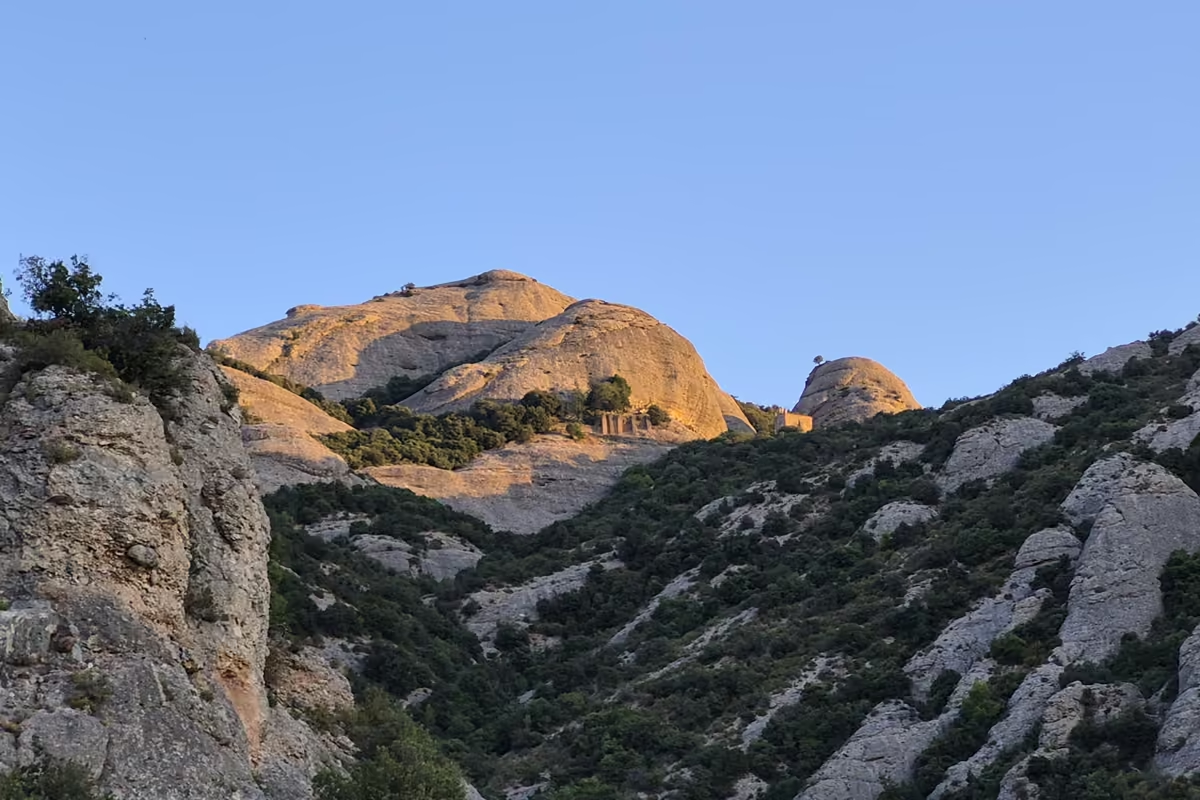
Then I followed the Camí de Sant Joan to the Pla de les Taràntules, at 3,186 ft.971 m. It is an easy dirt path with wonderful views of La Gorra Marinera, one of the legendary needles of the Sant Joan sector.
At the Pla de les Taràntules, the upper station of the Sant Joan funicular, I took the turn-off towards the Camí Nou de Sant Jeroni and, a little further on, turned onto the PR-C 19, a short-distance footpath that had a surprise in store for me.
It is a fantastic spot for the views of the Tebaida sector, where the needles have shapes and personalities of their own, such as La Prenyada (the pregnant woman) and La Mòmia (the mummy).
From the Pla de les Taràntules to Santa Anna
The PR-C 19 took me back into the deep woodland paths of the massif that I love.
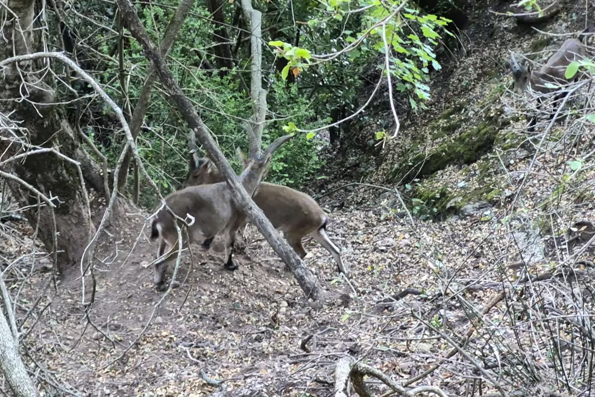
On the way down I heard stones falling. They passed close by. What a fright! It is one of the reasons I never wear headphones in the mountains. I was lucky. A little further on I saw the culprits: a group of Iberian ibex (Capra pyrenaica) that had been above me came down onto the path and came over to greet me.
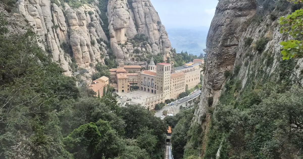
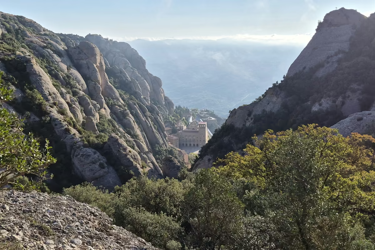
I carried on down, enjoying the path, and suddenly the first views of the monastery appeared. I could hardly believe it. Down there among the needles, as if suspended in the middle of the mountain, stood this wonderful religious and spiritual centre. I never tire of seeing it.
Almost without realising it I reached the hermitage of Santa Anna and its square, the Plaça de Santa Anna. There I joined the Escales dels Pobres (the Stairs of the Poor) and went down this unbroken run of stone steps towards one of the places with the most history on the mountain, the Pas dels Francesos. The monastery bells were ringing and kept me company on the way down.
The Pas dels Francesos
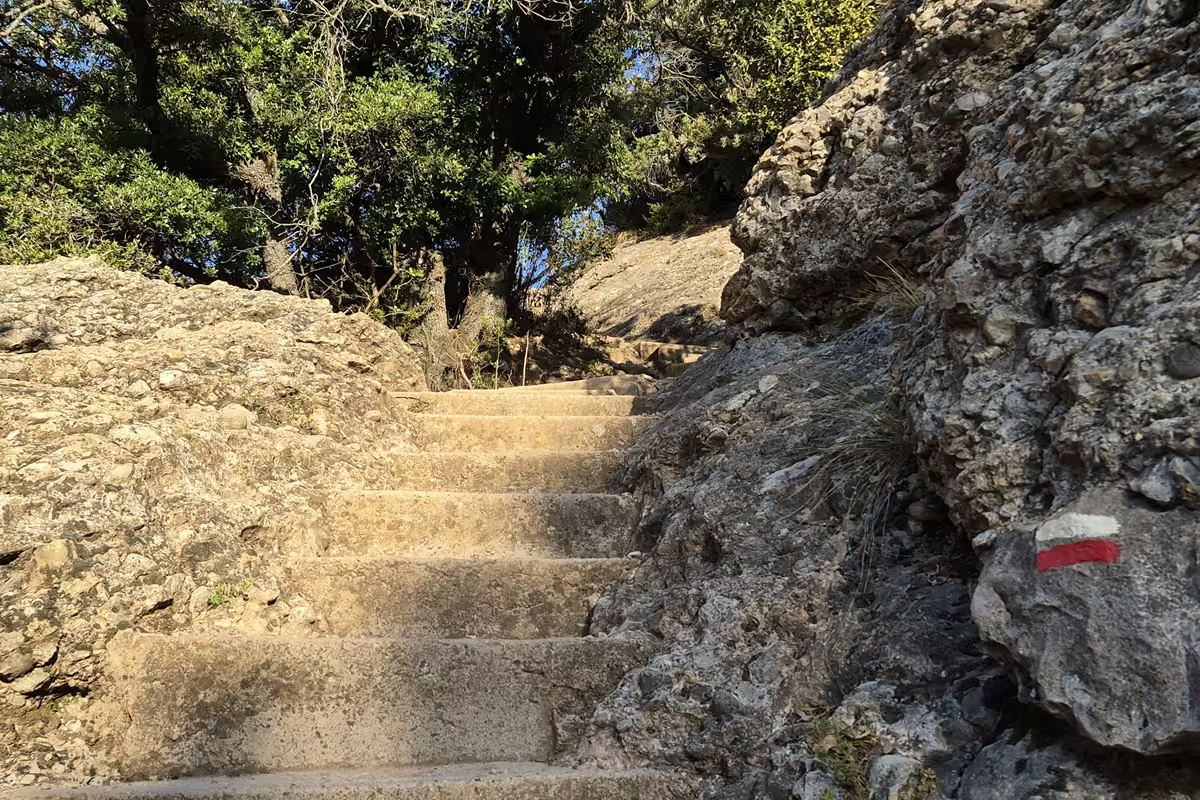
The Escales dels Pobres, named after the old cemetery nearby where pilgrims who died at Montserrat were buried, took me into a narrow, rocky stretch known as the Pas dels Francesos.
The Pas dels Francesos, at 2,808 ft,856 m, is tied to the Guerra del Francès, the Peninsular War. According to tradition, Napoleonic troops climbed through this pass when they occupied Montserrat on 25 July 1811, led by a traitor from Collbató who guided them through the mountain and past its defensive positions.
A different way to reach Montserrat
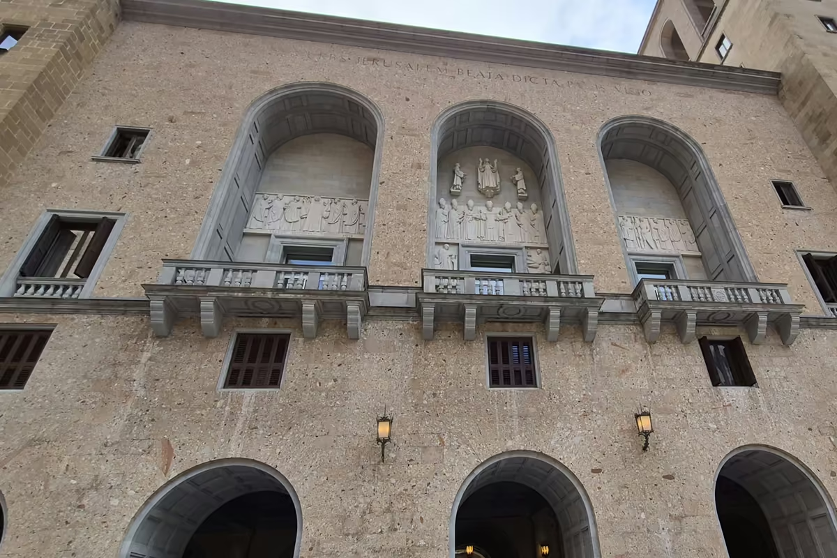
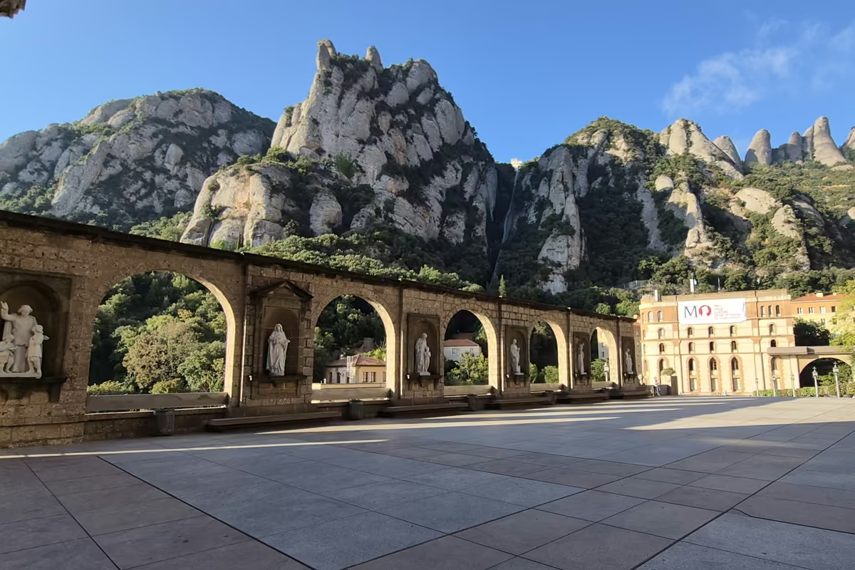
Once through the pass I carried on down the steps, with the monastery closer at every turn, and at 09:09 I reached the Plaça Abat Oliba, named after the founder of Montserrat. A short walk further on is the Plaça de Santa Maria, in front of the façade of the Benedictine monastery. That moment was absolutely incredible.
This is, believe me, one of the best ways to reach Montserrat. It is not the fastest, and it does not try to be. It lets you experience Montserrat from a historical perspective, the way the old hermits lived it.
And the way back?
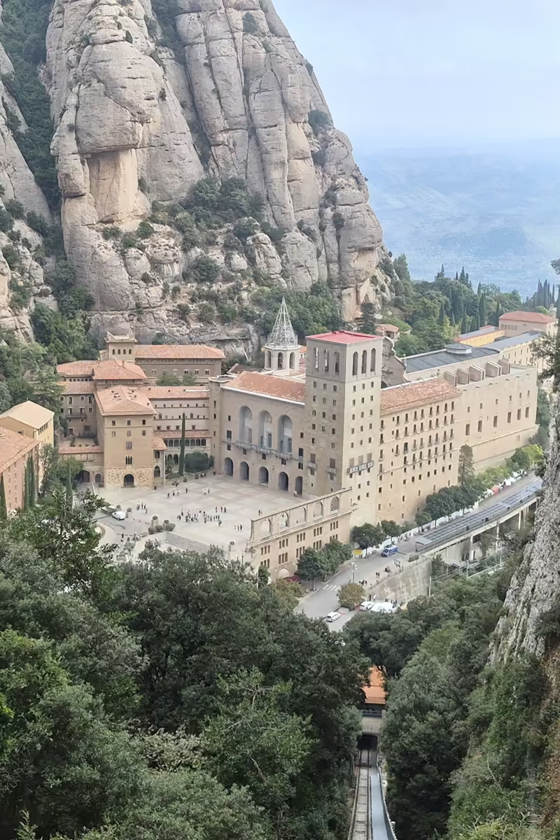
There are two ways off the mountain by rail, the rack railway down to Monistrol de Montserrat and the cable car to the Montserrat-Aeri station, but both leave you on the far side of the massif, on the R5 line, nowhere near Collbató. If you started in Collbató, they are not a way home: your options are your own two feet, or the Sant Joan funicular and the familiar path back down.
If you would rather walk, simply retrace your steps. I spent 47 minutes at the monastery and then took the Sant Joan funicular, whose lower station is here: 41.592019, 1.836411. It took me up to the Pla de les Taràntules, and from there I walked the familiar path back to the start.
Why the funicular? Because for €11.40 one way you get one of the most beautiful panoramas on the whole mountain. Honestly, I think it is worth it.
Always check the weather before you set out. It can change suddenly, as it did for me on the way back: I went from a spectacular day to cloud so thick you could hardly see anything.
When to go
The best months for this route are autumn, winter and spring. Lately it has been very hot on the mountain, so I recommend always starting first thing in the morning. Avoid June, July and August. If you do go then, start at first light and be on your way back by 9:30 or 10:00 at the latest. The rest of the day is very hot.
Water, toilets and services
There are several water points on the route, but they may not be where you need them, so set out with at least 1 to 1.5 quarts.1 to 1.5 liters. You can refill at the Pla de les Taràntules, on the upper floor of the Sant Joan station, and at the monastery itself, in the Queviures supermarket. The same goes for toilets: the widest range of services is at the monastery.
What I wore
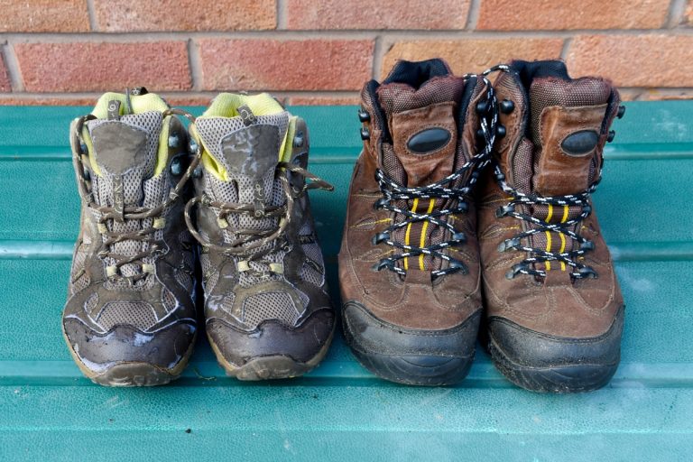
I walked the route in The North Face Altamesa 500, a trail running shoe, and they worked very well for me. They fitted my feet perfectly, and their wide last is one of the reasons I chose them. The sole gripped well on the loose stone, both going up and coming down, and they handled the grade II scrambles too. The downside: they are low shoes, so your ankles are not protected. Lace them up tight and keep your foot well held. On this kind of terrain a more technical sole does not make a big difference: your descending technique does.
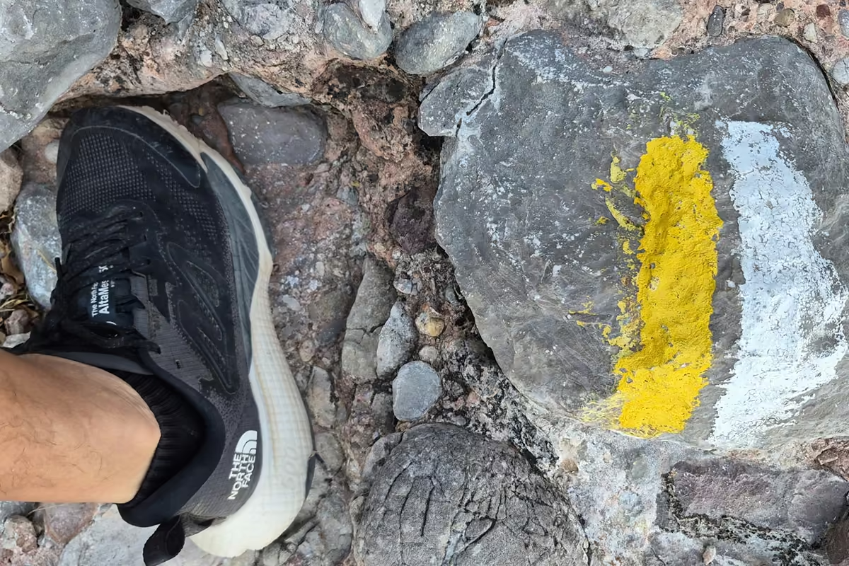
There is loose stone and uneven ground on this route, which is why I prefer a good trail shoe, but if you prefer a mid or high-cut boot, the choice is yours. (If you are weighing that choice, our guide to whether you need ankle support for hiking goes through it. Ed.)
How long it takes
The most important thing is not to be in a hurry. I am not one for many stops, and I like to enjoy the landscape on the move. As a guide for your own planning: the Drecera de Fra Garí from Collbató, 45 min to 1 h; on to the Sant Joan turn-off, 15 min; from the turn-off to Sant Joan, 30 min; 10 min at the hermitages; 10 min to the Pla de les Taràntules; and 1 h 10 min from there to the monastery. Reckon on about three hours for the ascent, plus your time at the monastery, then 1 h 30 min for the descent if you use the funicular, or 2 h 30 min if you walk the whole way back.
These times are generous, at an active pace, but they assume some mountain experience. Assess your level, the route and the hours of daylight before setting out.
My own times on 16 September:
| Going up | Time |
|---|---|
| Left El Pujolet | 07:24 |
| Fra Garí viewpoint | 07:38 |
| Old path to the monastery | 07:50 |
| Turn-off to Sant Joan | 08:01 |
| Camí de Sant Joan | 08:26 |
| Pla de les Taràntules | 08:36 |
| The ibex | 08:44 |
| Santa Anna hermitage | 08:55 |
| Pas dels Francesos | 09:02 |
| Plaça Abat Oliba | 09:09 |
| Monastery façade | 09:13 |
| Coming back | Time |
| Left the monastery | 10:00 |
| At the funicular | 10:02 |
| Funicular departs | 10:14 |
| Back at the Pla de les Taràntules | 10:20 |
| Camí de Sant Joan | 10:24 |
| Down the Drecera de Fra Garí | 10:52 |
| Back at El Pujolet | 11:05 |
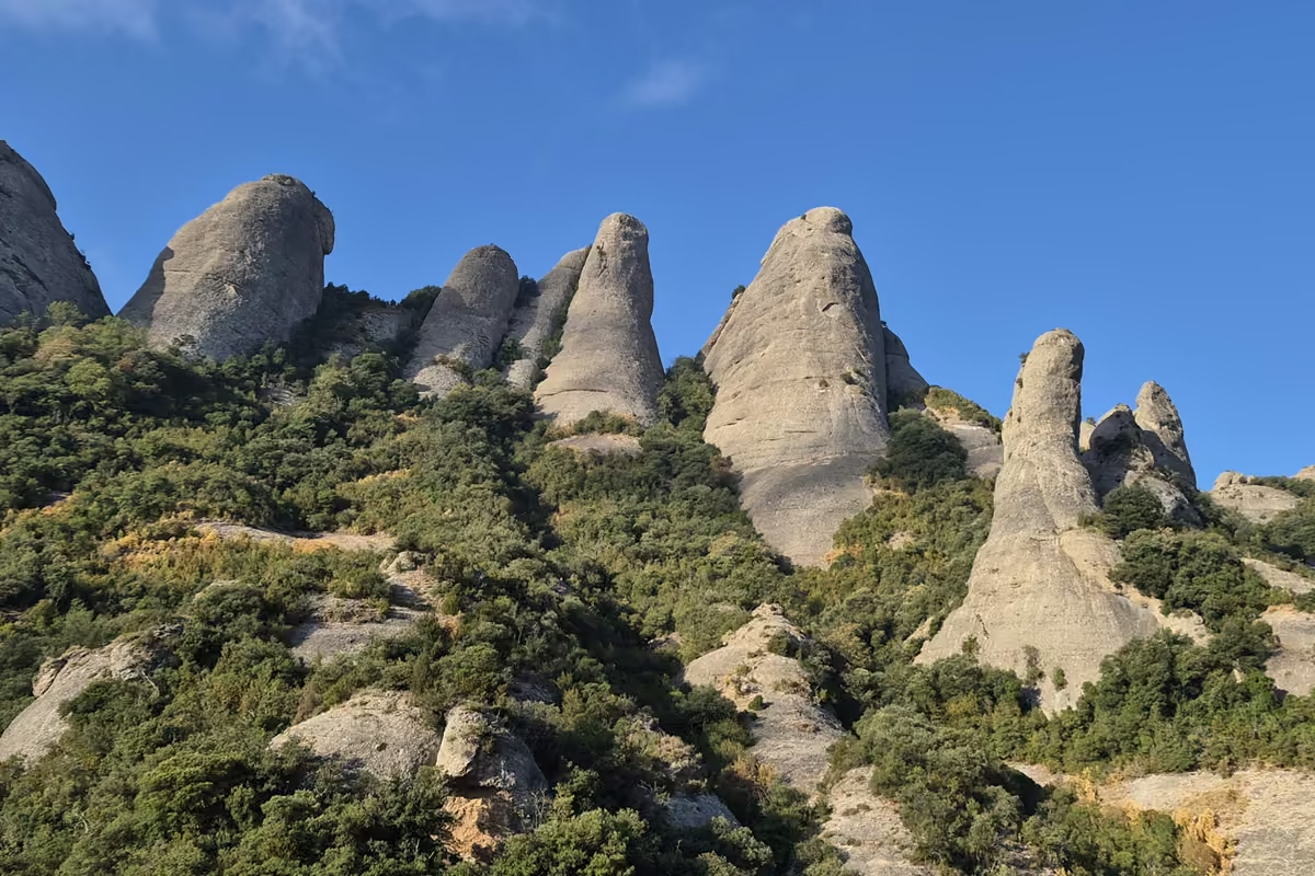
I got there and I came back, and I did not simply go to Montserrat. I reached Montserrat through the mountain, and for me that is what changes the experience completely. Buen camino.